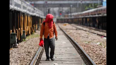

New Delhi: As temperatures rise and westerly winds turn warmer, India Meteorological Department (IMD) has issued a yellow alert for heatwave until April 8. A heatwave is declared when the maximum temperature reaches or exceeds 40 degrees Celsius, with a deviation of at least 4.5 degrees Celsius from normal.
On Friday, however, the maximum temperature saw a slight drop due to winds. At the base station, Safdarjung, it was 38.4 degrees Celsius, 4.4 notches above normal, as against 39 degrees Celsius a day earlier.
None of the areas in the city saw temperatures over 40 degrees, while the Ridge station was the warmest in the region with a maximum temperature of 39.4 degrees Celsius. A day earlier, Ridge recorded 40.4 degrees Celsius.
On Friday, the city’s minimum temperature increased to 18.8 degrees Celsius, the normal for the season, as against 15.6 degrees Celsius a day earlier. The city saw westerly winds of 7 km/h.
The maximum temperature is likely to reach 42 degrees Celsius by April 7. On Saturday, it may hover between 38 and 40 degrees Celsius.
“The days to come will get winds with a prominent westerly component. During summers, westerly winds become warm and dry, so the maximum temperature will increase, and there are fair chances of heatwaves or isolated heatwaves over the next few days,” explained Mahesh Palawat, vice-president, meteorology and climate change, Skymet.
Meanwhile, the city’s air quality remained poor. The air quality index, on a scale of 0 to 500, was 219. A day earlier, it was 217. According to the IITM’s air quality early warning system, the air quality may briefly improve to moderate levels before switching back to poor. “The air quality is likely to be in the moderate category on April 5. It may be in the poor category from April 6 to April 7,” stated the early warning system.